Commuting from Cedar Creek to Tesla Gigafactory
71/130 corridor access from Bastrop County's western growth belt.
- Typical drive
- 40 min
- Distance
- 30 mi
- Peak (approx.)
- 55 min
Cedar Creek subdivisions west and north of US 71 are a common Tesla commuter base—highway logic is straightforward but 71 peaks hurt. Expect 35–55 minutes depending on subdivision and toll use.
- Mid-day drive
- ~40 min
- Distance
- ~30 mi
- Peak (approx.)
- ~55 min
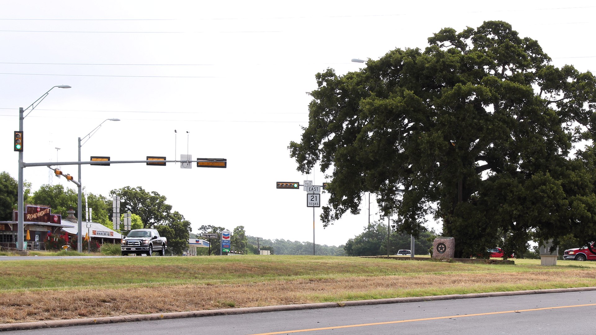
Commute map
Sample commute route
Driving directions from Cedar Creek, TX toward Tesla Gigafactory Texas. Times on this page are estimates—traffic and toll choices change results.
Typical route: US 71 toward Austin metro, merge to SH 130 north to Harold Green Rd / Gigafactory area.
Add NEXT_PUBLIC_GOOGLE_MAPS_EMBED_KEY to show embedded driving directions. Use the link below for turn-by-turn routes in Google Maps.
Drive times on this site are estimates—always test your shift. Open directions in Google Maps →
Overview
Buyer notes
Flatter lots and newer suburban sections attract families who still want Tesla access without Travis County taxes. Compare with The Colony for east-vs-west 71 positioning.
- Bell-time school traffic stacks with commuter peaks on 71
- Fiber verification still required street by street
Planning a move to Bastrop? Get the free tech commuter guide or reach out with questions.
Free guide
Download the Bastrop tech commuter guide
Neighborhood shortlists, commute matrices, and due-diligence checklists for SpaceX, Tesla, and SH 130 relocators.
Prefer to talk?
Contact us directly
Already know your commute target or move date? Skip the guide and send a message—we typically respond within one business day.
Contact meContinue exploring
Related guides
Last updated May 2026 · Photo: Larry D. Moore / Wikimedia Commons (CC BY 4.0)